Let it snow? North Georgia prepares for possible wintry weather Friday night
Published 12:56 pm Thursday, January 5, 2017
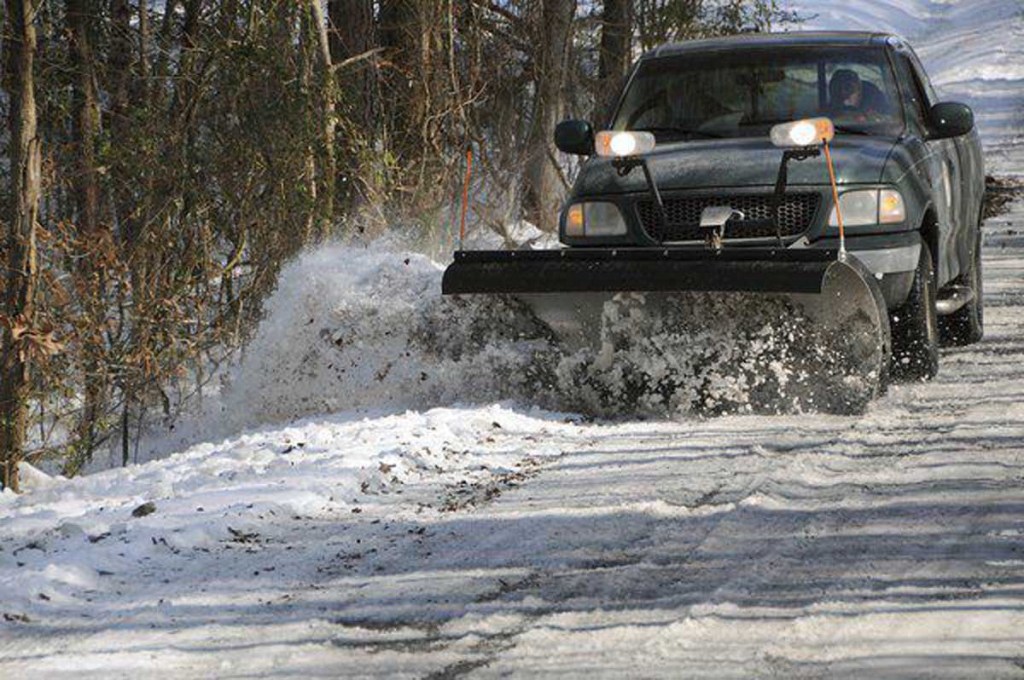
- Matt Hamilton/The Daily CitizenA Whitfield County Public Works truck plows away snow off of Shamrock Drive in this file photo from January 2011.
DALTON, Ga. — Forecasters are calling for the possibility of one to two inches of snow overnight Friday and into Saturday morning for the area, and local officials are preparing to handle the lingering effects of any wintry mix to come.
But the best advice Whitfield County Emergency Management Director Claude Craig can give is the simplest.
“Stay home,” said Craig. “Anytime we have any winter-type weather, if you don’t have to travel, just stay off the roads. It puts a burden on us as public safety officials and they are going to put our first responders in danger when we have to go to them if there is an accident. My rule of thumb is if you don’t have to travel, then don’t travel.”
The National Weather Service issued a special weather statement Wednesday afternoon stating, “Confidence is increasing for widespread winter precipitation late Friday through early Saturday.” The statement was sent to the counties in Georgia along a line from Columbus through Macon and northeast to Augusta. The statement called for two to three inches of snow along the I-85 corridor northeast of Atlanta.
Forecasts for Dalton call for a high of 35 on Friday with an overnight low of 23.
“All indications right now are for a pretty high chance for a rain/snow mix and then turning to snow,” NWS meteorologist Nikole Listemaa said of this area. “It should start late Friday night and continue into Saturday and ending by late morning to early afternoon. There is going to be some snow, right now it just remains to be seen how much and how much will stick. Right now, generally we are saying one to two inches, but that could change.”
No weather advisories or watches have been issued, but Listemaa said those will be coming as the forecast comes into better focus today and Friday morning.
“While it is still too early to pinpoint exact onset, precipitation is expected to start across northwest Georgia during the afternoon hours on Friday and continue to spread southeast through Friday night and into Saturday morning,” the weather statement said. “As we approach the onset of this event, we hope to provide a better timing estimate.”
Craig said local agencies are taking a hard look at the potential impact of the approaching weather and preparing to handle the travel needs of local residents.
“All of our partners — public works, fire, police, sheriff’s office, emergency medical services — are all involved and we will watch and listen to what the National Weather Service has to say and we will plan what we need to do,” Craig said. “Two of the three things that it takes to make this happen are in place — a front and cold temperatures. It is just a question of how much moisture will be pulled up from the Gulf of Mexico.”
DeWayne Hunt is the director of Whitfield County Public Works, which will handle the clearing of local roadways, and he said preparations have been going on since the return from the New Year’s holiday break.
“We prepared a little bit on Monday to get back in the swing of things and mounted our plows and checked our lights and did some maintenance,” Hunt said. “We will go through a full dress rehearsal. We are in good shape on salt and recently had a delivery of 100 tons, and that is about as full as we can get it.”
Hunt said the main concern for his department isn’t the volume of snow, but the colder air expected to be on the back end of the storm. Forecasts are calling for temperatures in the 20s and teens for Saturday and Sunday night and into Monday morning.
“My fear is temperatures are really cold over an extended period,” Hunt said. “Over that period it looks like it is going to be really hard and that is when it is really difficult for us to handle. I don’t think that it is going to be a big snow, but we are in pretty good shape to handle that. But when it stays cold you have black ice and other things that are tougher to deal with.”
Schools likely will not be hampered by the storm since it isn’t expected to have an impact until Friday night, but extracurricular activities could feel the brunt of the storm. Already, Whitfield County Schools has rescheduled events from Friday night to tonight. Basketball games between Southeast Whitfield and Pickens and Northwest Whitfield and Gilmer have been rescheduled for tonight. Also, Georgia High School Association area duals wrestling championships are scheduled for the weekend and could be affected.
“We are monitoring it, but it doesn’t appear that there will be any impact to us on Friday as far as school is concerned,” Dalton Public Schools spokeswoman Pat Holloway said.
Whitfield County Schools spokesman Eric Beavers said that system is also monitoring the situation and does not expect to see an impact on classes on Friday.
-
eEdition
-
-
