LATEST: Weather forecast continues to worsen
Published 11:25 am Friday, March 18, 2022
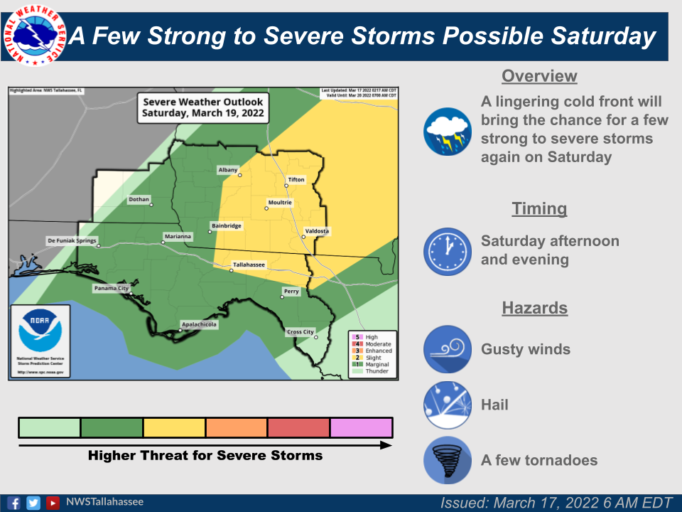
- Saturday Severe Risk
Originally published 1:52 a.m. March 17
First update published 5:25 p.m. March 17
Trending
Second update published 11:25 a.m. March 18
UPDATE: A briefing Friday morning from the National Weather Service has again upgraded the likelihood of severe weather in South Georgia.
“A line of strong to severe storms will move through the area today, beginning in southeast Alabama and northwest Florida late this morning and continuing eastward through the area this afternoon and evening,” the NWS reported. “Damaging winds, hail, and tornadoes (possibly a strong tornado) are the main threats. Areas northwest of a Blountstown-to-Moultrie line are in an Enhanced Risk for severe weather (level 3 of 5), with a Slight Risk (level 2 of 5) south and east until Perry [Florida], and a Marginal Risk (level 1 of 5) clipped to the SE Big Bend. The greatest threat will be in southeast Alabama, southwest Georgia, and parts of northwest Florida.”
The western half of Colquitt County is in the area of Enhanced Risk, according to a graphic that accompanied the briefing.
The storms are expected to arrive in Colquitt County in the mid- to late afternoon today, the NWS reported, but isolated severe storms are also possible through the night.
Colquitt County Emergency Management Director Justin Cox said the severe weather should be cleared out by Saturday afternoon.
Trending
Looking ahead, Cox warned that another round of storms is predicted for Wednesday, March 23.
———
UPDATE: The National Weather Service increased the chances of severe weather on Friday during its Thursday afternoon briefing.
The area at slight risk for severe weather (2nd lowest of five levels) has expanded to include Colquitt County on Friday. The county remains at that level on Saturday.
The new forecast also includes an area of enhanced risk in southern Alabama and far western Florida on Friday.
— Original story continues below —
MOULTRIE, Ga. — For the third time in roughly a week, the National Weather Service is warning about possible severe weather coming to Southwest Georgia.
Colquitt County Emergency Management Director Justin Cox said he heard no reports of damage from storms that were forecast last weekend and on Wednesday, but the NWS briefing released Thursday morning calls for a higher chance of severe weather this coming Saturday than had been forecast for the earlier events.
“Severe storms will be possible both Friday and Saturday as a cold front moves through the area,” the weather service said. “Damaging winds, large hail, and isolated tornadoes will all be possible with severe storms.”
Graphics that accompany the briefing show a slight risk of severe weather on Friday west of Albany and into southern Alabama with a marginal risk for areas east of Albany. That situation is more-or-less reversed for Saturday with a slight risk east of Bainbridge and marginal risk west of that city. On the National Weather Service scale, “marginal” is the lowest chance of severe weather while “slight” is one level higher.