Dorian to have minimal impact on Colquitt County, EMA director says
Published 3:46 pm Tuesday, September 3, 2019
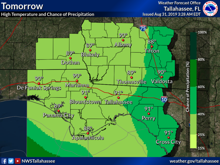
- This map from the National Weather Service's Tallahassee office shows a significant chance of rain throughout Colquitt County on Wednesday, but particularly in the eastern part of the county due to the passage of Hurricane Dorian along the Georgia coast.
MOULTRIE, Ga. — Local emergency officials have breathed a sigh of relief as weather forecasters show Hurricane Dorian’s track will take it well east of Colquitt County.
Colquitt County Emergency Management Director Russell Moody said the county’s forecast looks good following an update Tuesday afternoon from the Federal Emergency Management Agency.
“We may get sustained winds of 15-20 miles per hour,” Moody said. “Gusts of 20-25 mph. This will be Wednesday.”
Dorian slammed into the Bahamas Monday as a Category 5 hurricane with 185-mile-per-hour winds. Then it seemed to park right over the island nation, drenching and pummeling it for roughly two days before slowly resuming a northwestward track.
The storm weakened after it hit the Bahamas and was a Category 2 hurricane by Tuesday afternoon with winds of 110 miles per hour, but it also grew in size. Computer models predicted it would move along the coast of Florida, Georgia and South Carolina. It may make landfall in South Carolina or North Carolina on Thursday or it may curve farther eastward. Nonetheless because of its size, it will significantly affect coastal areas of those states and Virginia.
Georgia Gov. Brian Kemp ordered a mandatory evacuation for the entire Georgia coast beginning Monday. About 540,000 people live in the state’s six coastal counties. The state Department of Transportation turned all lanes of Interstate 16 westbound on Tuesday morning to facilitate the evacuation, but as of about 1:30 p.m. the DOT reported “light traffic” on the roadway.
Less than a week ago, the forecast was far less favorable for Colquitt County. The computer models projected tracks that could bring Dorian into our area or near enough to hit us with tropical-storm-force winds.
Instead, Moody said the area will face sunny days and rising temperatures this week. Highs of about 100 degrees are expected for Saturday and Sunday, he said.
The predicted high temperatures are a reminder of dangerously hot periods earlier this year. As then, people are urged to stay inside during the hottest part of the day, drink plenty of water and check on the elderly, children and pets to make sure they’re OK.